

BOTH EDITIONS AVAIL NOW! at SURF STOP@F-St

| |
|||
|
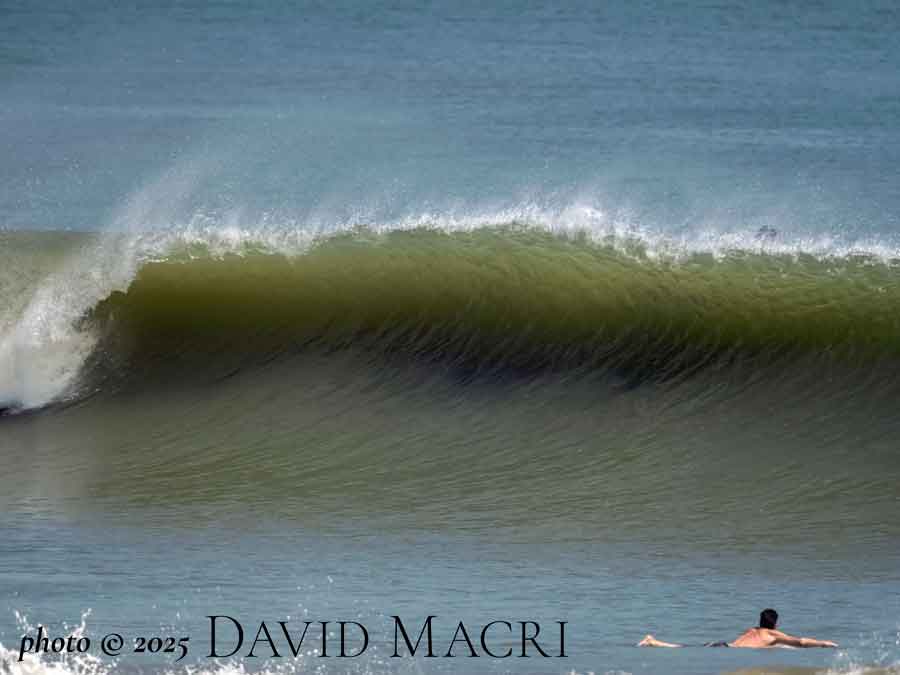
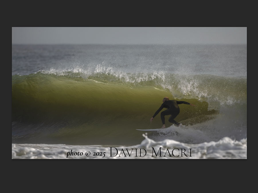
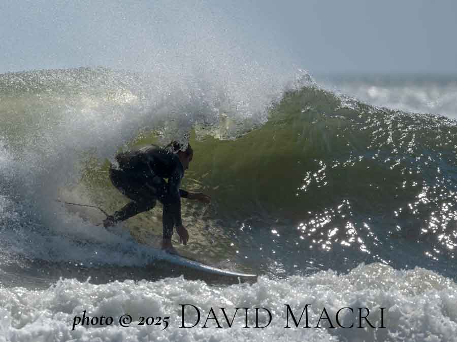
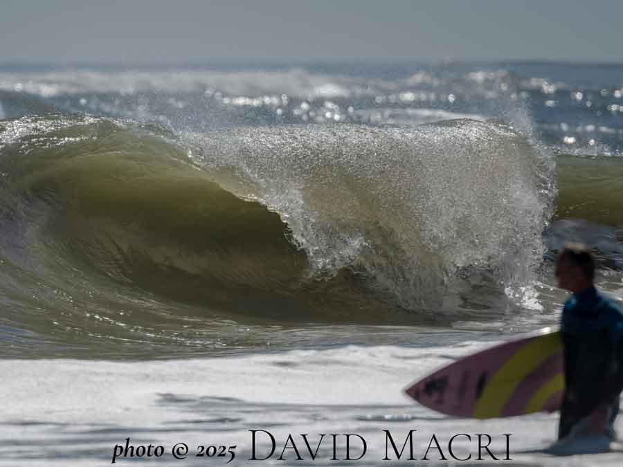
Hello! WHERE WERE YOU ON THIS DATE IN 1979? On this day in early March 1979, the BLUE SKY SURF REPORT began. Since that day 46 years ago, we have produced and presented over 60,000 BLUE SKY SURF REPORTS, expanded online with quality photos, and original graphics as the internet developed. Our consistent reporting, hopefully, helped you to plan your surf days, added to your anticipation of a new swell to come or to relive and analyze the better sessions in photos. We appreciate your support through the years, whenever you needed a timely, accurate, consistent source for swell, wind, tide and forecast information, as well as photo records of every day's waves, no matter the conditions. Change is in the air and the BLUE SKY SURF REPORT will no longer be available. HOWEVER, I will still be photographing the better surf days and post them on my JUST POSTED!-IMAGES FROM WEDNESDAY MAY 28, 2025 SPECIAL THANKS goes out to Kevin Priester for all of his help making our vision of the BLUE SKY SURF REPORT a working reality back in the day and keeping the BLUE SKY SURF REPORT running throughout the years. ALSO-a big thanks for my friends that kept the report updated when I wasn't available! THANK YOU!! Weather Links and More! St Augustine Pier Station SAUF1 ST. AUGUSTINE BUOY 20NM Miles Offshore 120NM EAST CANAVERAL BUOY SE of us approximately 120 NM E of Cape Canaveral SOUTH HATTERAS BUOY -NE of us & 225NM south of Cape Hatteras 120NM EAST CANAVERAL BUOY SE of us approximately 120 NM E of Cape Canaveral NE BAHAMAS BUOY -350NM ENE of Nassau, Bahamas Link ForSt. Augustine Beach Water Quality Reports Link for latest ATLANTIC WIDE VIEW Satellite image ( Western Atlantic) Link for latest US ATLANTIC COAST Satellite image ( Western Atlantic) Link for latest US EAST COAST/GULF of MEXICO Satellite image Latest NHC MARINE FORECAST & ANALYSES Link to Current Wind Map HERE or at this link: DAVID MACRI FINE ART PHOTOGRAPHY featuring local images and images from around the world for viewing and purchase DIRECT LINK TO DAVID MACRI LOCAL SURF PHOTOSdavidmacri.com/Surf FOR OTHER RECENT SESSIONS SURF IMAGES (2025) and CLASSIC SURF SESSIONS IMAGES (2024 AND EARLIER) GO TO davidmacri.com/Surf ***** JUST POSTED!-IMAGES FROM WEDNESDAY MAY 28, 2025davidmacri.com/Surf |
||


